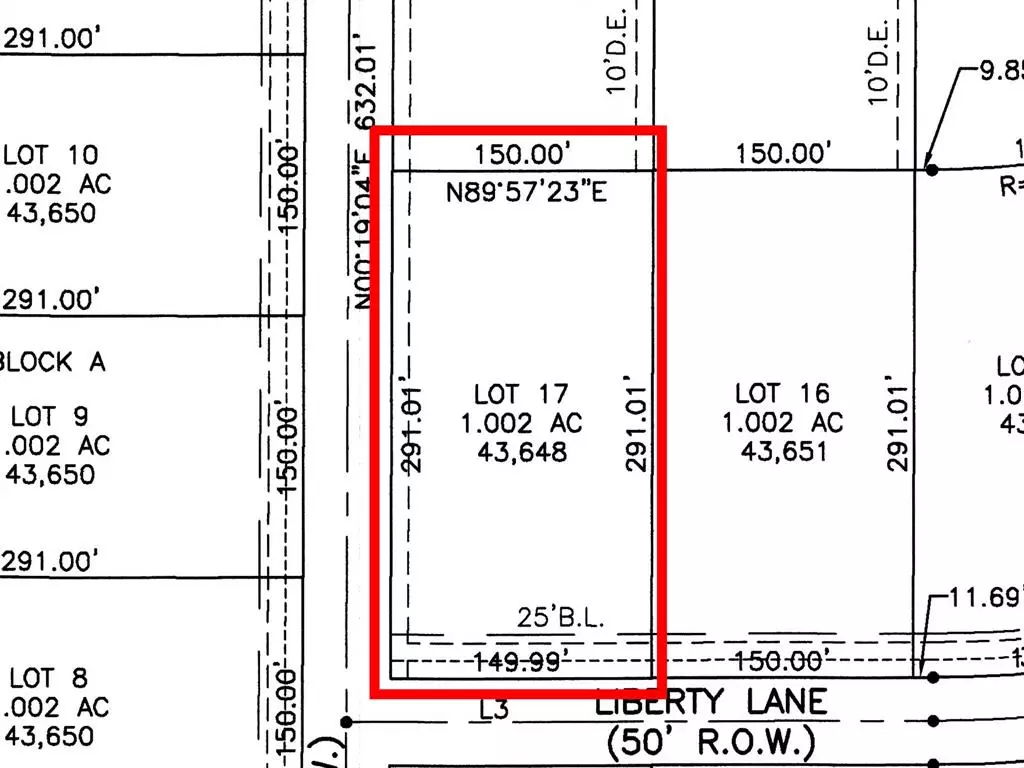
701 Liberty Lane Nevada, TX 75173
1 Acres Lot
UPDATED:
11/21/2024 05:04 PM
Key Details
Property Type Vacant Land
Sub Type Unimproved Land
Listing Status Active
Purchase Type For Sale
Subdivision Lexington Heights
MLS Listing ID 20332858
HOA Y/N None
Annual Tax Amount $1,750
Lot Size 1.002 Acres
Acres 1.002
Property Description
Location
State TX
County Collin
Zoning Residential
Direction From McKinney area, take 380 E for 14 miles to Co Rd 557. Right on Co Rd 557 for 2 miles, then right on Hwy 78 for 5.1 miles until Co Rd 543. Left on 543 for 3.5 miles to Farm Rd 1138. Right on 1138, for 0.8 miles until Co Rd 595. Left onto 595, for 0.3 miles. Lexington Heights will be on the left.
Exterior
Utilities Available Co-op Water
Garage No
Building
Lot Description Cleared
Schools
Elementary Schools Mcclendon
Middle Schools Leland Edge
High Schools Community
School District Community Isd
Others
Restrictions Other
Ownership Cope Equities, LLC.


